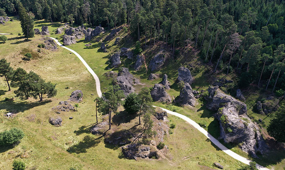
The confluence of special geological conditions in the Wental valley has not only formed a spectacular landscape, but also created a variety of habitats that offer rare plants and animals a place of retreat. That is why it is designated as a nature reserve. Please note the marked paths.
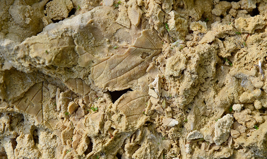
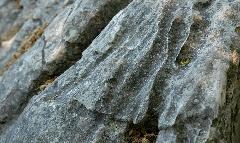
The Wental has been formed over a long period of time by successive geological processes. A short journey through earth's history: ThelimydepositsoftheJurassicSeaformthebasis.After the area became mainland, these began to weather. Karstificationanderosionbywindandweathershapedthelandscape,andriversclearedoutvalleysliketheWental. SincetheJurassicrockscontainsofterandharderareas,suchasformerreefstructures,theyhavebeenerodedonvaryingdegrees. Insomeplaces,theharderareashavepreviouslytransformedintoanevenmoreresistantrockcalleddolomite.The flowing water has eroded the softer surrounding rock, gradually exposing the bizarrely shaped dolomite rocks in the Wental.
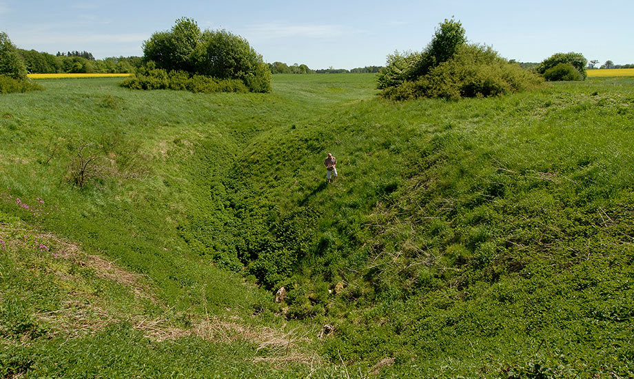
The river that formed the valley has since vanished. The continuing tilting of the Swabian Alb over millions of years lowered the karst water level. The water was now drained underground through fissures and cave systems. This created a dry valley as it is characteristic of the Alb: the Wental as we know it today.
Impressions
Wental mit Felsenmeer
Address
Geopoint Wental mit Felsenmeer zwischen Bartholomä, Essingen, Steinheim (Heidenheim und Ostalbkreis)